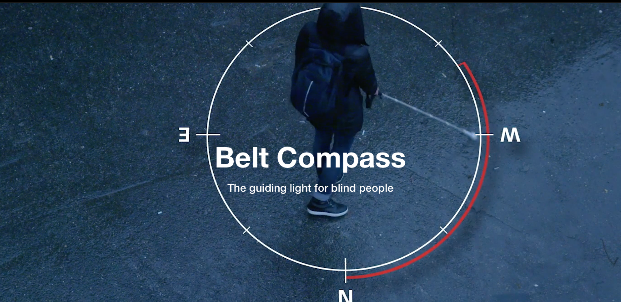
We want to creat a belt compass that provids an innovative navigation system for people with spatial mobility problems. The navigation system (Open Street Map) provides routes taking into account accessibility information such as crosswalks or sidewalks. Users can perceive the route information through audio or using the belt compass. The latter option avoids blocking out other audio information from the environment while navigating in urban areas.
Our approach
Belt Compass deals with the lack of accessibility information by taking advantage of open data coming from the governments and public institutions, such as SITG in Geneva, OpenData.Paris in Paris, and so on. Additionally, Belt Compass allows users to actively participate in mapping accessibility data and rating routes in order to continuously improve the routes provided.
The belt compass system contains 4 vibration motors to indicate the direction, a GPS receiver and three inertial measurement unit (IMU) for accurate navigation.
The whole system has a Bluetooth connection to the mobile phone.
-
What have been done?
We have already made the prototype of the belt with sensors and motors. we can control all the motors viberation with a simple App.
We can also provide GPS and IMU data.
-
what do we need?
YOU !
Create an APP prototype that can use GPS and IMU data to help navigate.
1. Programming skills for developing APP
2. Design skills of interface of the APP
3 .Familiar with Application Programming Interface of map
Awareness of APP development
ABOUT OUR PROJECT:
(slides) http://www.cui.unige.ch/~fernajos/Blind_Navigation_odd_summer.pdf
(video) http://www.cui.unige.ch/~fernajos/TheBeltCompass_HD_H264.mp4
(webside) http://simetka.cz/OGH/
OPEN STREET MAP: