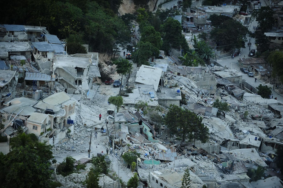
We extract satellite images from different providers (such as Google, Bing, Baidu, Tencent, Amap....) and upload them to Geotag-x, a platform for identifying and tagging pictures, for volunteers to help to pick the clearest ones and help analyse and tagging the remote sensing images. Then we will use the best images chosen by volunteers to analyse some interesting topics such as estimating damage levels of the houses in disaster regions and finding illegal mining sites. In addition, we also have the idea that volunteers can help take photos of those places with GPS coordinates and we can then integrate them into a working map, which could help analyse from the local perspective.
Build a platform to make our goals work.
web-developer, Java-sceipt, humanitarian
JS, Humanitarian
