Description
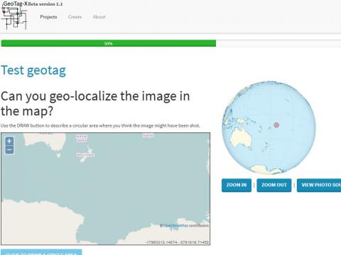
Our basic geotagx.org geotagging map is a square based on openstreetmap. However we are considering monitoring climate and glacier change in the Arctic and Antarctic, for which this map of the world does not suit. Could a team create a geotagging tool based on maps of the polar regions - or perhaps even based on something other than flat maps that we could apply to other world regions?
Goals of the project
- make geotagx.org functional for satellite and aerial images of Earth's polar regions
- new volunteers for the geotagx.org community
Skills being sought
- mapping
- graphic design
- GIS
- JavaScript
- HTML
References and background material
Try geotagging a regional image through one of these test modules
Prerequisites:
n/a
Contacts
Cobi Smith